Lively Creek
-
RunLively Creek
-
ClassIII-IV+ (P)
-
Put InSR 73
-
Take OutCR 676
-
Length (mi)6.4 + couple miles of lake*
-
Gradient (fpm)120, 130, 170, 160, 40, 20(1.4)
-
Watershed (mi2)11.7
-
Primary Gage
- Put-in bridge 4" low, 10" medium, 18"+ high
-
Indicator Gage
- Town Creek near Geraldine 1000-1400? (high, Town peaked at ~3000)
Description
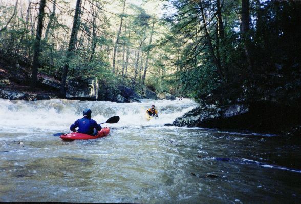
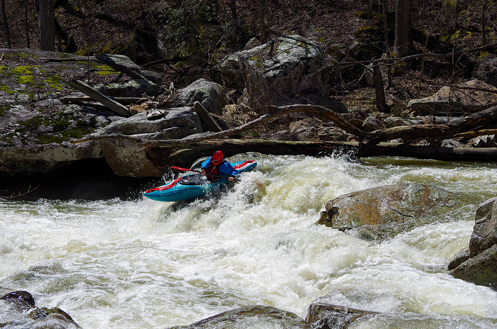
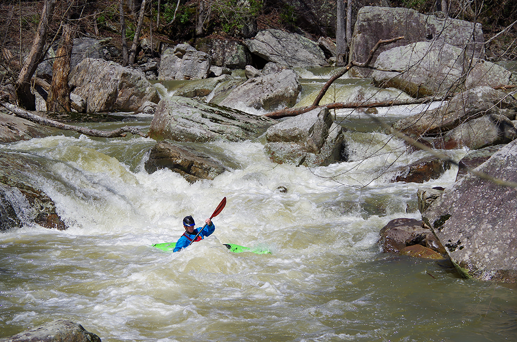
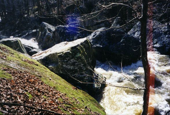
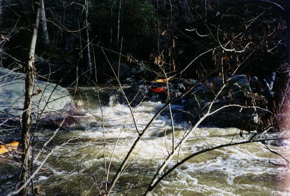
Lively is certainly that if you catch it with enough water. Skilled paddlers such as Ricky Pollard, Phil Foti, Sloan Bryan, (& others?) ran this some time ago at low levels. They told me "nothing more than III+". Well, we put on at bank full in 12/2001 and it was a stimulating experience. The run has a lot of III and IV/IV+ at moderate water. At high water, it is IV with hints of IV+/V and long rapids. It is a step up from South Sauty to be sure. Lively can also be a long day, it usually takes us 4+ hours to run it. It is sort of a bipolar run because it does not channelize well at low water. It can be very unfun low, and pretty busy/scary at high water.
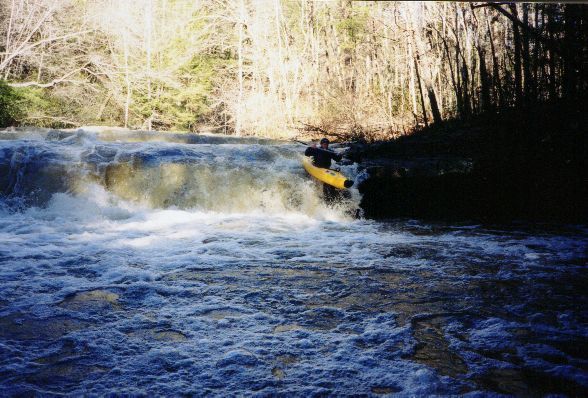
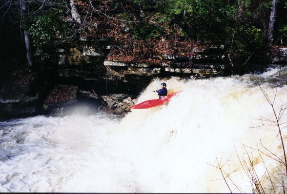
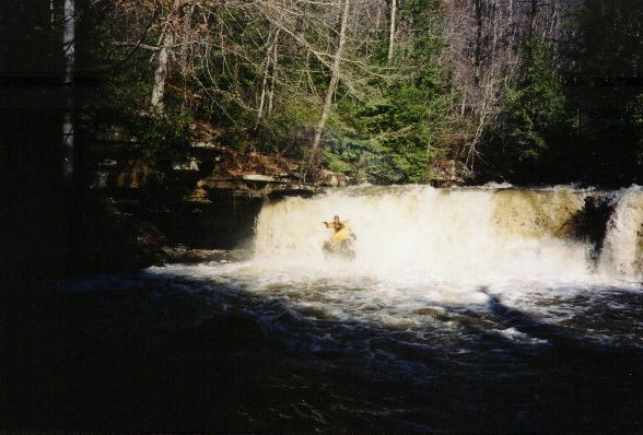
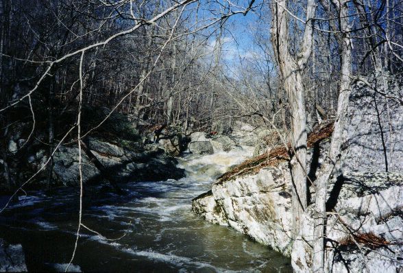
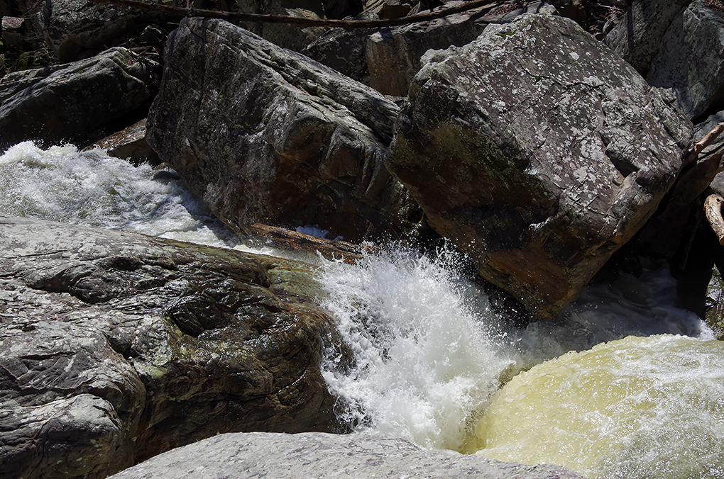
The first two miles down to Guest creek are a bunch of fun with many rapids, the odd pin spot, and maybe a few trees. Sticky holes can occur at high water. A fun double drop is near the top, and another 14' waterfall is easily run on the right. The falls drops on a shelf except for the right 1/4 or so. The Guest Creek confluence is at mile 2.0. Here, we got the extra 200 cfs boost and my fun meter quickly started hitting the peg on the right side of the dial during the high water run. At 6", this is where you finally have enough water to minimize boat abuse. Not too far downstream, there are a few IV+'s. Always have a fail-safe eddy, because when the earth drops away you have reached the enormotron rapid. It drops a total of 50+' or so and sieves out about halfway through. The sieve is a non-starter at any level. The portage is somewhat long (maybe 10 minutes) but not that bad on river left once you get up the bank a ways. Ask Shane for a story on what not to do right above the sieve...
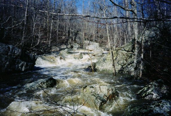
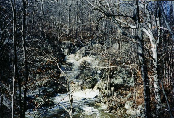
Below the portage, the fun boulder rapids really begin. The individual drops and are not too big, few are over 8' high, and eddies can be found. Care must be taken in several spots to avoid pinning one's craft. Many rapids are encountered. It is a joyous thing but at high water I was stressed. A walk or three may be required for various reasons at almost any level. Many more medium to big rapids dot the landscape until you hit the flatter section, where the transformation is abrupt.
*The part below the steep section is a washout through the trees, where high water really helps things along. Miller/Long Island Creek adds its flow at mile 4.8 (it smells). Taking out takes a tiny bit of imagination, we took out up a parallel creek near the gate at the end of CR 676, but we had a Brian's GPS. It can be found without a GPS, just paddle up the first side creek on the flats with any flow to it (and colder water). Take the right fork in the side creek. You could also take out along CR 676 on the flats, but you will have to paddle more flatwater. The slough is narrow, so wind may not be that bad a thing.
** A gage has been painted. It can be viewed on the downstream side of the put-in bridge concrete pillars from the river left side. I have verified that -4 to -6" is WAY too low. Repeat not our mistake. 0" is still too low. 6" is borderline boat abuse until you get about 2/3 of the way in. 9"-12" would probably be much fun. 18" is already getting high. Water level can also be judged by an angular, somewhat square rock about 100' downstream of the put in bridge on river left. High water will leave about 6-8" of air gap below the center stream side of the rock.
Details
-
ClassIII-IV+ (P)
-
Gradient (fpm)120, 130, 170, 160, 40, 20(1.4)
-
Length (mi)6.4 + couple miles of lake*
-
Watershed Size (mi2)11.7
-
Put InSR 73
-
Take OutCR 676
-
ShuttleSR73/ CR93/ CR91/ CR676
-
Water Quality
 (
2 chickens | 1 = Good, 3 = Gross)
-
Primary Gage
- Put-in bridge 4" low, 10" medium, 18"+ high
-
Indicator Gage
- Town Creek near Geraldine 1000-1400? (high, Town peaked at ~3000)
-
Precip. Gage
Map
Video
Photos
Trip Reports
Lively Creek
December 14, 2001
Written by Curt Ruffing
The rains continued Thursday night, painting Mark’s flow-page blue. We set off to paddle on the north end of Sand Mountain. Lively had been described as nothing more than III+ but when we arrived the banks were full and no one seemed sure what to expect. Dave Curry, with wisdom and serenity I obviously lack, decided to pass and kindly ran shuttle for us. In retrospect the rapids on the first mile were probably not that difficult, in the II-III range, but they were nonstop, coming one after another after another. The others paddled like they were enjoying a whitewater dream come true, but I was nervous, my paddling was sloppy, and my dream threatened to become a nightmare. Due to the continuous nature of the rapids and the reptilian survival mode of my brain I can only recall a few of the rapids distinctly. In the second mile there was a double drop with sticky looking holes on river right and a 14-foot waterfall which pumped enough adrenaline into my system to quiet my nerves and allow me to enjoy the river.
After the second mile we picked up more water, the holes got bigger, and the complexity of the rapids increased. Most of the rapids were in the III-IV+ range. I walked several but others ran all but one large drop with a sieve about halfway through. In the last couple miles the length of the run and the portages we taking their toll, I was just following the person in front of me and trying to stay upright. We made it to a convenient takeout thanks entirely to Brian's GPS. Lively creek at the level we paddled is a large step above anything else on my resume. Its length, six miles of almost uninterrupted whitewater excitement, precludes the look at a rapid, drink some water, discuss the rapid, tempo to which I’d grown accustomed. Thanks to the encouragement of my fellow paddlers Lively was an intensely enjoyable adventure but, at least for me, another run would still be an intimidating prospect. As you would expect Mark has good descriptions of these runs, pictures, and directions to the put-ins on his web site.
