Cathy's Creek
-
RunCathy's Creek
-
ClassIII-IV-
-
Put InOff FR 529
-
Take OutRainbow Drive , Whitesides Mill Lake Dam Outflow
-
Length (mi)1.4 miles + 1.1 mile lake paddle
-
Gradient (fpm)~130' (in 1.4 miles)
-
Watershed (mi2)1.2
-
Primary Gage
- None Visual
-
Indicator Gage
none
Description
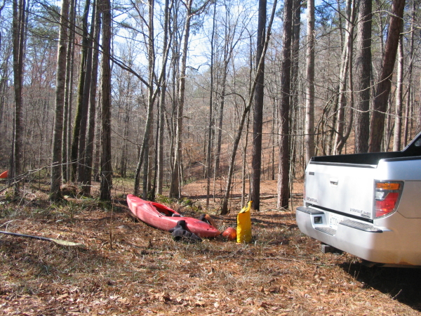
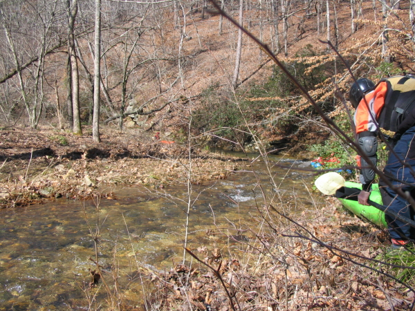
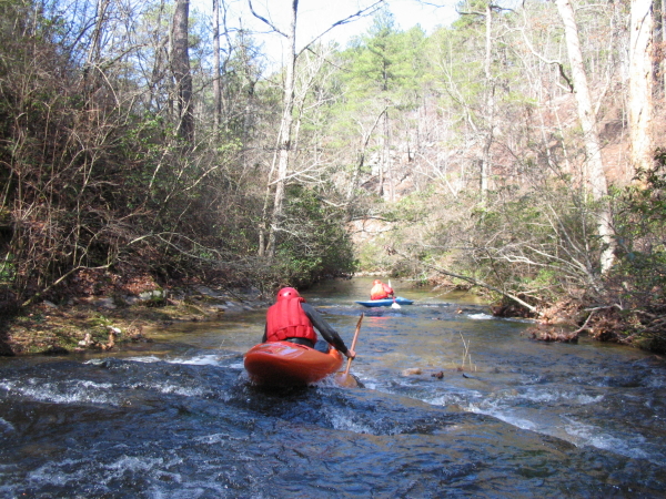
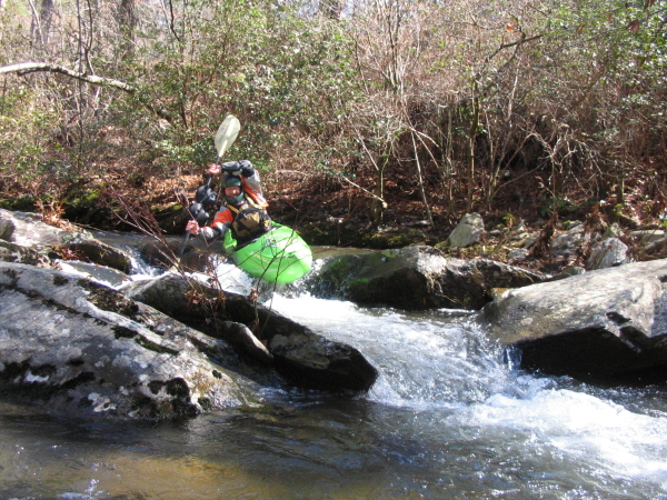
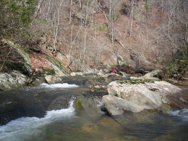
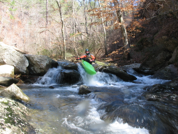
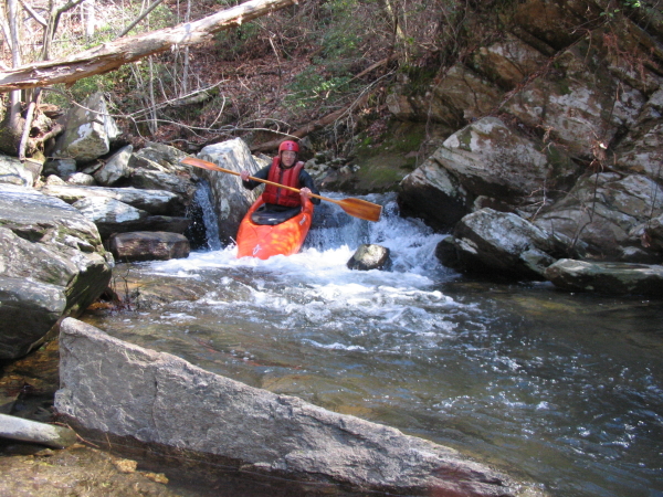
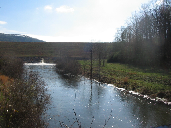
Alf Van Hoose brought us to an ultra-small creek at ultra low levels. Cathy's Creek may not even be its real name, the topo maps show none. The Talledega National Forest rangers call it that anyway. It is in the Choccolocco WMA, falling off the southeast side of Rattlesnake mountain into the Shoal Creek arm of Whitesides Mill Lake, which drowned the last 60 feet per 1/2 mile of rapids. There is about one mile of continuous Class III to IV-. It is questionable whether the fairly long shuttle over gravel roads is really worth the run. Perhaps it will be far better with water in it. Trust the lessons learned of those who ran it: get there close to a big rain event.
Below the put in, the creek is flat for about 1/2 mile. Numerous tight and fairly small drops then follow, with a couple log challenges here and there. There are a few slides and a nice curving left rapid that might be fun with water in it. One or two drops are around blind corners and may merit a scout due to rocks in the landing zone. The water quality is high. To find the put-in from the takeout, go back out to Hwy 9 and turn left into the WMA at the big sign. Then make a left onto 531, then another at 500 and pass Pine Glen Campground. 529 is the next road past 530. The put-in is about 100 yards to the left side of FR 529 roughly 3 miles past the gate. Supposedly the gate on FR 529 is only open from October to March or so.
Alf then offered some further thoughts on the shuttle: I suggest a northern shuttle for in the Cathy's Creek. North on Hwy 9 to Holley Crossroads (about 4 miles north of White Plains). Turn right on CR 262. Drive about 2 miles east. Turn right. Drive about 1 mile then turn left shortly after crossing Choccolocco creek. This is FR 532 which ends when FR 500 intersects it from the left. Continue south past the Choccolocco Ranger Station until reaching FR 529. So why change the shuttle directions? Simple! If there is enough water to run Cathy's creek then FR 531 will probably be blocked by water over the road and maybe FR 500 will be blocked by Shoal creek flood water at Pine Glen campground. Note that this may psyche out the casual paddler. You can not expect to run Cathy's at a decent level unless you may have trouble getting there from the south because of flooded out forest roads!
Details
-
ClassIII-IV-
-
Gradient (fpm)~130' (in 1.4 miles)
-
Length (mi)1.4 miles + 1.1 mile lake paddle
-
Watershed Size (mi2)1.2
-
Put InOff FR 529
-
Take OutRainbow Drive , Whitesides Mill Lake Dam Outflow
-
ShuttleRainbow / Hwy 9 / Joseph Springs-FR522 / FR 531 / CR 500 (motorway)
-
Water Quality1 chicken
-
Primary Gage
- None Visual
-
Indicator Gage
-
Precip. Gage
