North River Lower Section
-
RunNorth River
-
ClassI/II
-
Put InCR 63
-
Take OutCR 38 (Moores Bridge Rd)
-
Length (mi)12.7
-
Gradient (fpm)~3'/mile
-
Watershed (mi2)154
-
Primary Gage
- North River near Samantha 150 cfs
-
Indicator Gage
none
Description
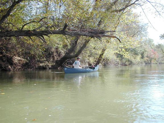
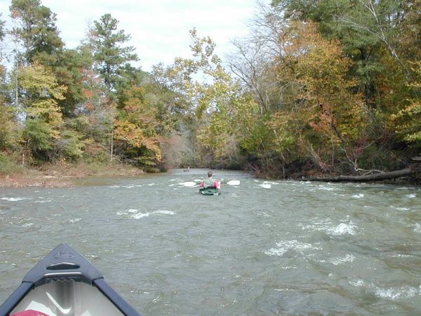
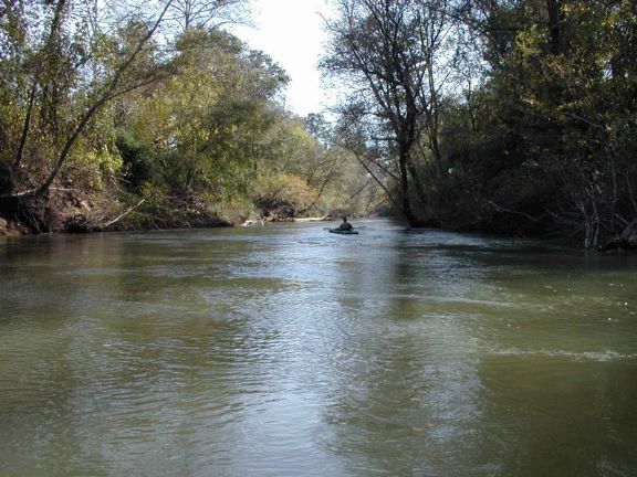
Located north of Tuscaloosa, North River is definitely worth listing for scenery and for open boating through about June. Kayaking levels are good in the spring after a heavy rain. Put in on county road 63. From Tuscaloosa, take Hwy 43 to New Lexington Turn onto county road 55 then left on county road 63. Take out on county road 38 (Moores Bridge). From the put in, follow county road 63 south (Old Jasper Road) to county road 38. Turn left on 38 at Samantha and follow to Moores Bridge. The river is class I/II at normal levels, small shoals and flat water for about the last 3/4 mile to Moores Bridge.
The section above is also good - Hwy 18 to County road 63 (length 9.9 miles, gradient ~4'/mile).
Details
-
ClassI/II
-
Gradient (fpm)~3'/mile
-
Length (mi)12.7
-
Watershed Size (mi2)154
-
Put InCR 63
-
Take OutCR 38 (Moores Bridge Rd)
-
ShuttleCR63 / CR38
-
Water Quality
 (
3 chickens | 1 = Good, 3 = Gross)
(
3 chickens | 1 = Good, 3 = Gross)
-
Primary Gage
- North River near Samantha 150 cfs
-
Indicator Gage
-
Precip. Gage
Map
Video
Photos